


Post by hunter on Jun 23, 2021 18:39:11 GMT
Contemporary navigation tools include five essentials for traveling in the backcountry: a map, compass, altimeter watch, GPS device and personal locator beacon (PLB). Here’s more detail:
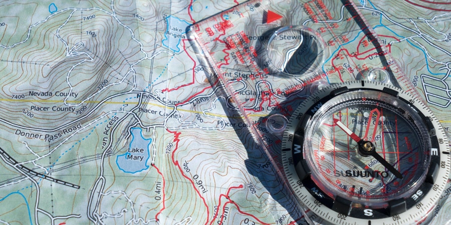
Map: A topographic map should accompany you on any trip that involves anything more than a short, impossible-to-miss footpath or frequently visited nature trail.
Compass: A compass, combined with map-reading knowledge, is a vital tool if you become disoriented in the backcountry. Many smartphones, GPS devices and watches include electronic compasses, but it’s wise to also carry a standard baseplate compass because it weighs next to nothing and does not rely on batteries, making it an indispensable backup.
Note: A compass equipped with a sighting mirror can also be used to flash sunlight to a helicopter or rescuer during an emergency.
GPS device: A GPS device allows you to accurately find your location on a digital map. Those designed specifically for outdoor travel are often built rugged and weatherproof. Another popular option is to use a smartphone with a GPS app, but consider that most phones are more fragile so you’ll likely need to protect it with a case. Whichever you choose, keep in mind that these gadgets run on batteries, so you’ll need to monitor your battery power and possibly carry extra batteries.
Altimeter watch: This is a worthwhile navigational extra to consider bringing along. It uses a barometric sensor to measure air pressure and/or GPS data to provide a close estimate of your elevation. This info helps you track your progress and determine your location on a map.
Personal locator beacon (PLB) or satellite messenger: These gadgets can be used to alert emergency personnel if you need help in the backcountry. When activated in an emergency, they will determine your position using GPS and send a message via government or commercial satellites. A PLB or satellite messenger can be a nice backup to have in case something goes awry, and they will work in remote locations where a cell phone cannot be counted on to have a signal.


